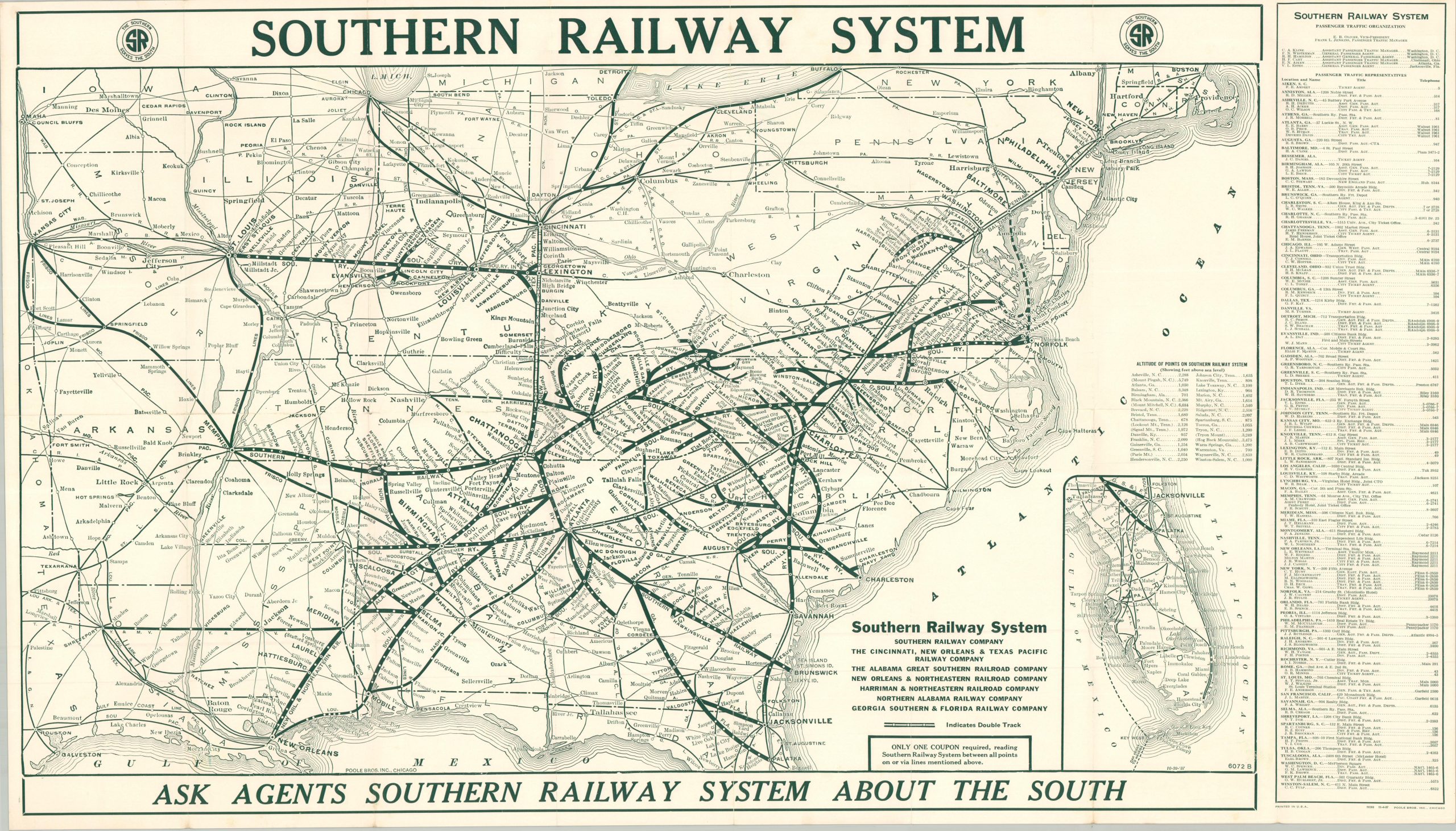
This eye-catching railroad map of the southern United States was published by Poole Brothers, Inc. of Chicago in 1937 on behalf of the Southern Railway System. The image seriously distorts regional geography and state borders to best present the company’s main lines and primary connections, serving a broad region between Kansas City, the Gulf of Mexico, and the Atlantic coast south of New York. Double tracks are noted, where applicable, and dozens of stops are labeled along the Southern Railway routes. An inset in the lower right shows the railroads in the Florida panhandle, while the right side of the sheet presents an extensive list of local company agents. Numerous captioned photographs on the verso highlight many of the major attractions available.