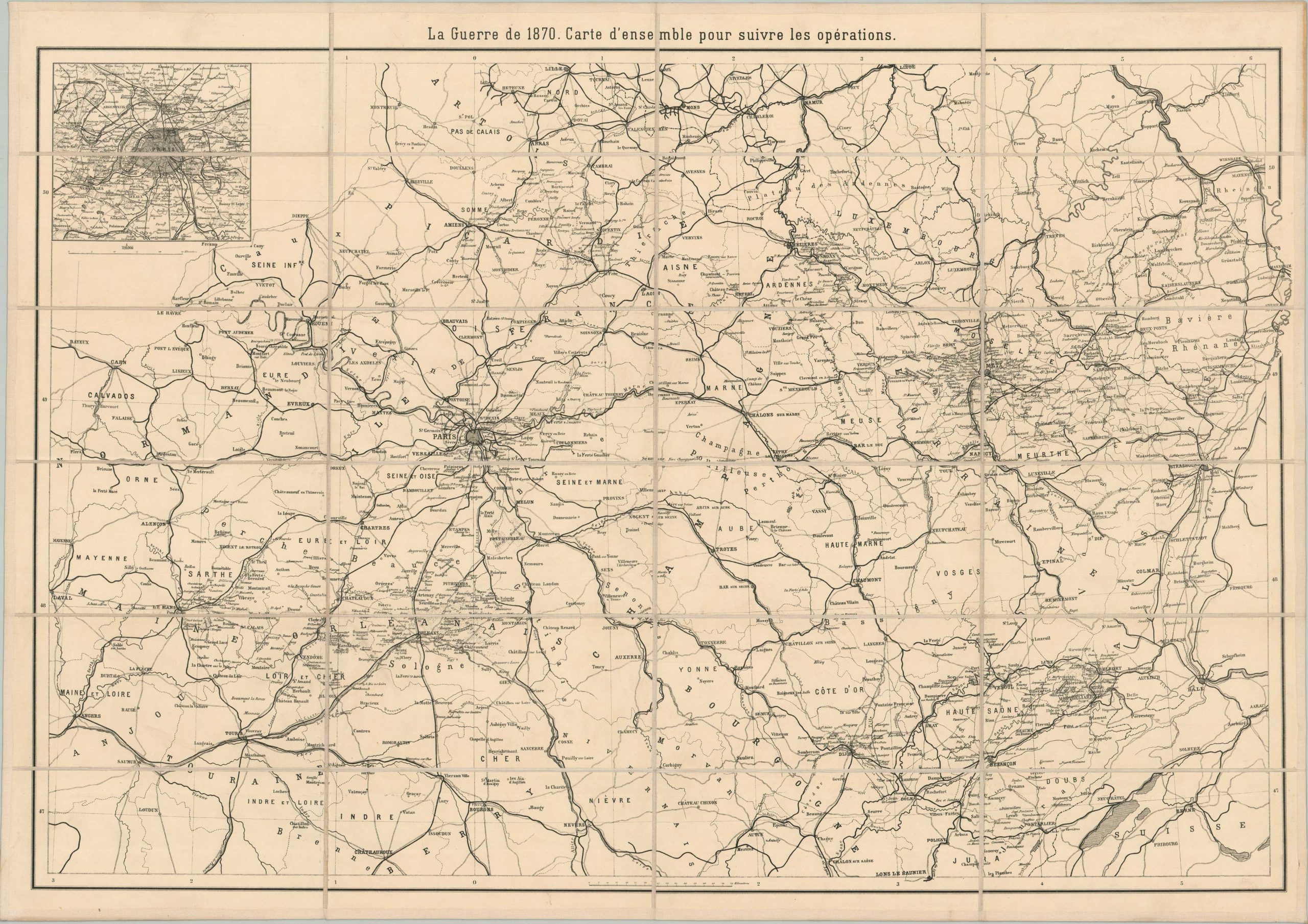
This straightforward map presents the theater of the Franco-Prussian War, known also as The War of 1870 (1870-1871), in Northern Europe. Railroads are noted with thick black lines and toponyms concentrate on strategic locations like fortifications, crossroad towns, and elevated points. An inset in the upper left shows the defenses around Paris, which endured a terrible four-month siege during the conflict. The map, probably published in Paris around 1890, was originally issued to accompany a French edition of Helmuth von Moltke the Elder’s ‘The War of 1870.’ This example has been expertly disbound and mounted onto linen for easy study. Helmuth Karl Bernhard Graf von Moltke (1800 – 1891) was a brilliant military strategist who served as Chief of the Prussian General Staff during the Franco-Prussian War. His pioneering use of the railroad system was instrumental in victory, ultimately establishing the first Empire of Germany.