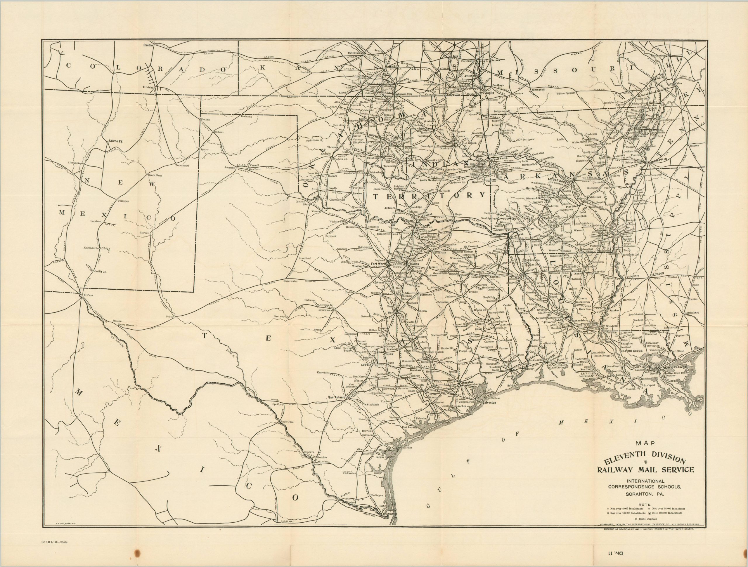
In 1885, due to excessive mining accidents, a new Pennsylvania law was introduced requiring mine foremen to pass a safety exam. Thomas J. Foster, a newspaper editor, began a column to help miners pass. This column grew so popular it became the International Correspondence Schools in 1891. As the Scranton-based school expanded into various technical fields (engineering, architecture, chemistry, etc.), the volume of required material became massive. The International Textbook Company (ITC) was formed as a corporate framework to facilitate the publishing and distribution. This collection of thirteen maps was published by ITC in 1906. The accompanying hard case has I.C.S. Reference Library in gilt lettering, reflecting the generalized nature of the contents. A color political map of the United States, copyrighted 1904, shows the principal geographic features and settlements from coast to coast. A map of the New England and Middle Atlantic States, engraved by E.F. Fisk of New York and dated 1906, offers similar details (in black and white). The remaining eleven sheets divide the country into its respective Railway Mail Service Divisions, as organized by the U.S. Post Office. This information was critical to those studying to become rail clerks, but it also functioned as the important framework for the ITC to deliver its course material, promotions, etc. Settlements are labeled by the number of inhabitants, ranging from less than 5,000 to 100,000 and up. The railway division maps were engraved by Willard Clark and Co. and E.F. Fisk and ‘Entered at Stationers Hall’, highlighting copyright protections across the British Empire. Source.